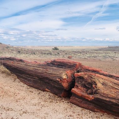
After taking a break from van life for a couple months, it was time to find a good winter destination and get out of the cold here at home in Park City, UT. Weather plays a big part in my travel planning– if you can have Goldilocks weather almost all year round, why not? Since I was heading home to northern California for Christmas, I decided to launch my first winter journey of 2019 from there. What better place to find Goldilocks weather in January than Death Valley National Park? January highs average about 67 degrees in the park with lows of around 40. And, with only two inches of average annual rainfall, you’re almost guaranteed sunny weather. So it was on. I put an itinerary together that included a short stop at Alabama Hills near Mt. Whitney for two nights, five nights in Death Valley National Park, and three nights in Joshua Tree National Park before circling back through Las Vegas to head home to Utah.

Alabama Hills Recreation Area
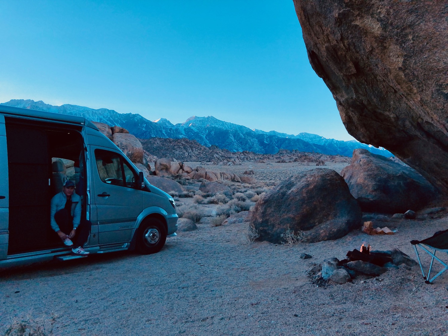
You might recognize the rocky terrain above from the opening scene in Iron Man. Many films, including the Shadow and How the West Was Won, were filmed here over the years. Set just outside Lone Pine, CA, near the base of Mt. Whitney, Alabama Hills is one of the coolest dispersed camping sites I’ve stayed at. The area contains a maze of relatively smooth dirt roads that allow you to explore and camp inside all the geologic nooks created by the massive granite erosion here. Being winter, there wasn’t too much competition for camping spots. While cold at night, we lucked out with warm 60 degree day time temperatures. I found a nice, private campsite with a fire ring and giant boulder to protect us from the high winds that come off the Sierras at night in wintertime.
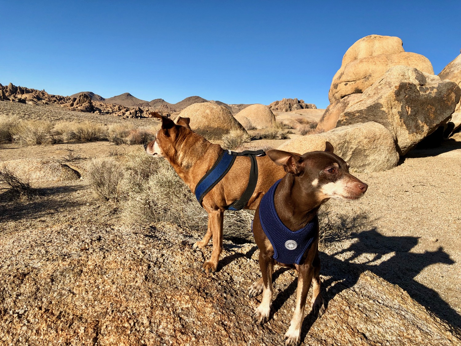
One of the highlights of visiting Alabama Hills is Mobius Arch. The arch rock formation is reached via a short .6 mile loop hike which takes you through the some great examples of the granite formations here to Mobius Arch and another smaller arch formation, Heart Arch. If you’re good with the camera and time it right, you can frame Mt. Whitney and the Sierras with Mobius Arch for a stunning photo opp. For more hiking opportunities, there are other trails that criss-cross through the recreation area, and all are dog-friendly.
The Road to Death Valley
From Lone Pine, CA, it’s only about 60 miles on HWY 190 to the border of Death Valley National Park and about 80 miles to Stovepipe Wells, one of the main visitor hubs in the park. Make sure you gas up before you go, because the markup on gas prices is about 60% at the park gas stations. Also, while there is a fairly well stocked small grocery store in Furnace Creek, the prices are also heavily marked up. Make sure you get supplies before entering the park. Internet service is extremely limited within the park boundaries. I was only able to get very weak data roaming in a few places. Furnace Wells Resort has a visitor wifi which you can pay for by the day or the hour.

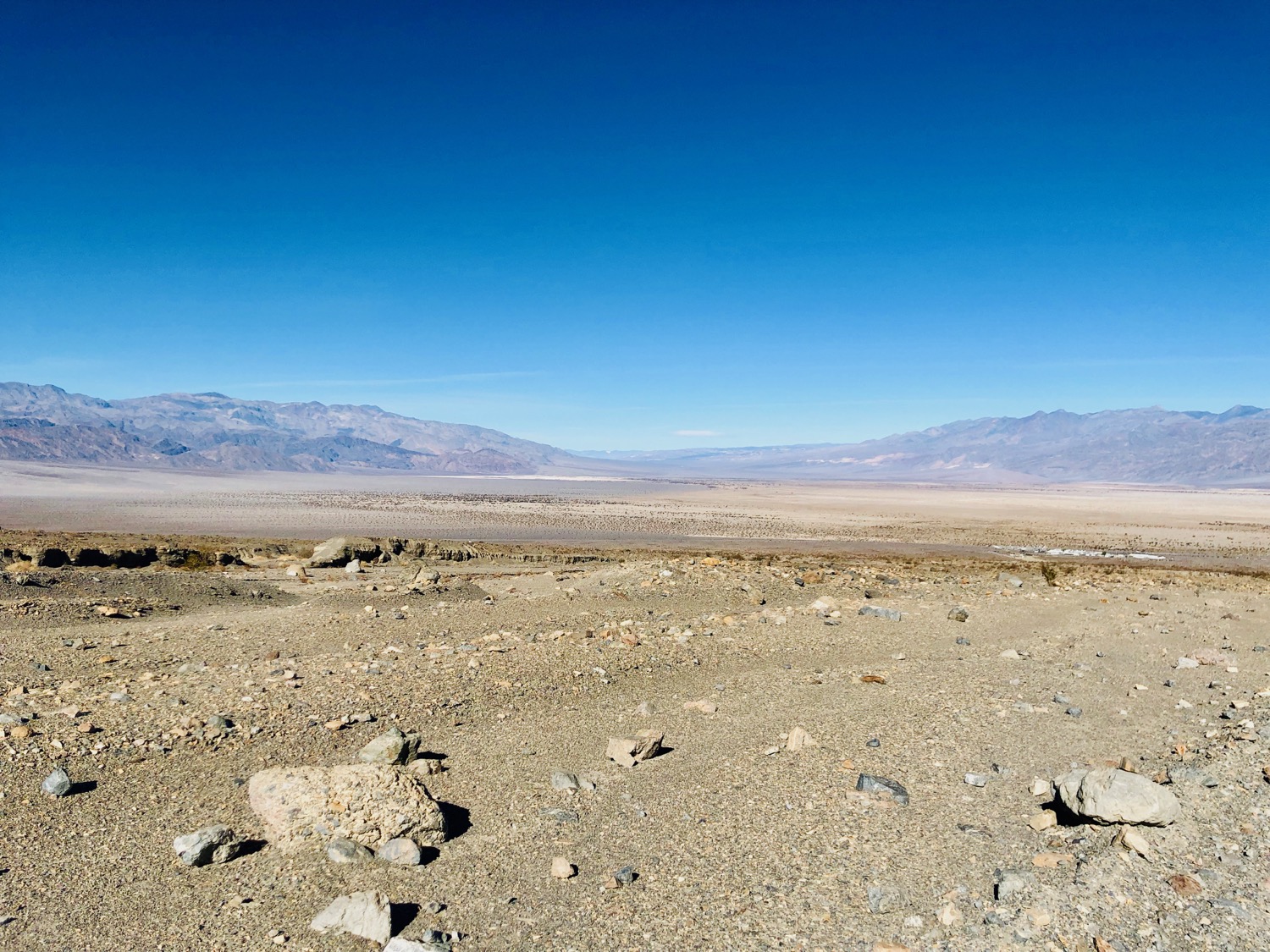
Coming in from the east on HWY 190, one of the first scenic stops is Father Crowley’s Overlook. You have to walk down a fire road for about a half-mile to get to the overlook, but it’s worth the effort. First time visitors might think they’re looking into Death Valley from here, but this is actually the Panamint Valley– which also includes Panamint Dunes. Death Valley is just on the other side of the Panamint Range, seen here in the distance. If you have time, you can take a side trip to the Panamint Dunes on your way through the Panamint Valley. The road to get there is just off HWY 190 to the left about one mile after you pass the Panamint Springs Resort. While not signed as such, the road to Panamint Dunes is really borderline for low-clearance vehicles. It has quite a few washed out and washboard sections that require decent clearance. Travel at your own risk. If you do make it to the trailhead for Panamint Dunes, you can take a 3.5 mile trek (each way) out directly onto the dunes. 3.5 miles is a lot in sandy terrain, so bring plenty of water and snacks. If you want the same dunes experience with less of a trek, save your energy for the Mesquite Dunes just outside of Stovepipe Wells in the park. There it’s just a short walk out onto the dunes where you can explore to your hearts content.

In the lead-up to this trip, there was a concern that the park might be closed due to the Federal government shut down. Fortunately, the vendors in the park at Stovepipe Wells and Furnace Creek made a deal with the NPS to keep some of the camping facilities and main visitor center open. A side bonus of this was we got to camp in the park for free, with our reservations cancelled and refunded. Our first camping spot was at StovePipe Wells. While not the most glamorous National Park camping area I’ve ever seen (it’s basically a parking lot), it is very central in the park and provides a good hub for seeing key attractions on the Northern side of the park, including Ubehebe Crater, Mosaic Canyon, Mesquite Flat Sand Dunes, and Devil’s Cornfield. If you’re planning on hiking or off-roading, you can easily do three nights in this section of the park and have very full days of activity. With 3.4 million acres in the park, it’s critical to plan ahead and have some logistics in place to see all the highlights in the park with a minimal amount of back-tracking.
Just as we arrived in Stovepipe Wells a massive sand storm kicked up. This was one bit of weather activity I hadn’t anticipated. Because of the gentle downward slope of the terrain, if you camp on the perimeter of Stovepipe Wells you get a pretty amazing view of the northern end of Death Valley. Within minutes of setting up camp, however, all I could see was a thick cloud of sand everywhere. The sand storm went on for hours, making me wonder what kind of trip this was going to turn out to be. Fortunately, I woke up the next morning to clear blue skies and calm breezes.
Mosaic Canyon
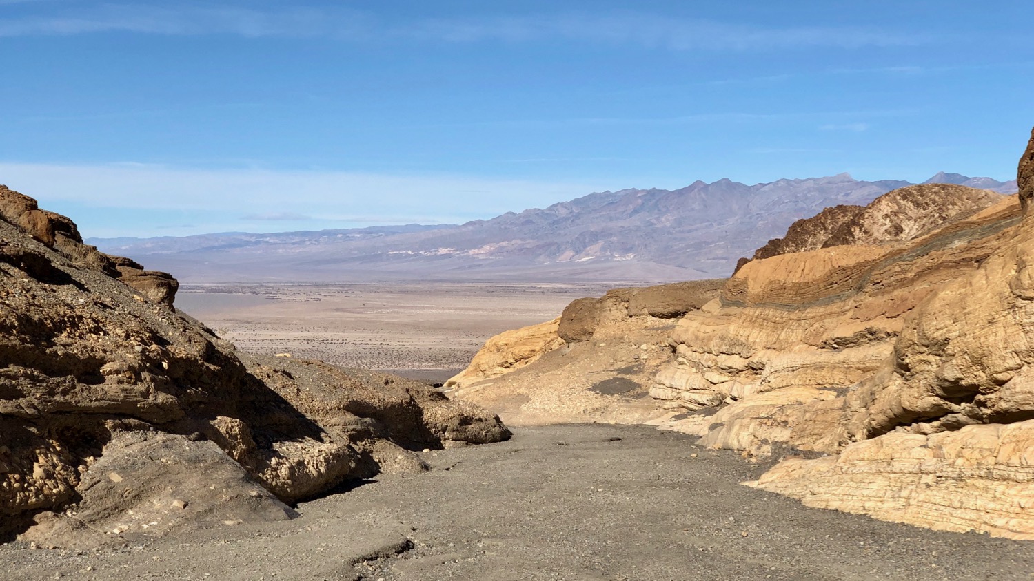
With great weather in the forecast, I decided to stretch my legs and take a hike up Mosaic Canyon. The trailhead sits up a 2.3 mile dirt road just behind Stovepipe Wells. As luck would have it, the road to the trail head was closed to vehicles– so the normally 3.5 mile out and back hike turned into an 8.1 mile hike. Given the easy terrain and gorgeous landscapes, I didn’t mind the extra miles. Mosaic Canyon has sections with smooth dolomite and marble walls that are shaped by gargantuan flash floods that flow when rare rain storms hit the area. From the trail head, you follow a long wash into narrow slot canyons that twist and turn as you make your way up the canyon. There are a few rock slide obstacles to navigate as you make your way up the trail. I recommend checking the park trail guide before you go to see the latest conditions are warnings for hikers.
Ubehebe Crater
After the long hike up Mosaic Canyon the day before, I was ready for a nice scenic drive and maybe a light hike. Ubehebe Crater was the perfect answer for that. The crater, which sits at the northern end of the park, is a half-mile wide and nearly 800 foot deep volcanic crater. Geologists estimate it last erupted around 800 years ago. The crater is about an hour drive from Stovepipe Wells (longer if you want to make scenic stops along the way). Once there, you drive up a paved road and park along the crater’s rim. From the parking area, you have a few hiking options– you can hike around the crater rim or, if you’re feeling more adventurous, descend over 700 feet into the heart of the crater. With sore legs from the day before, I decided to pass on the descent, but kind of regret it now. If you go and have the energy, drop in!

Mesquite Flat Sand Dunes
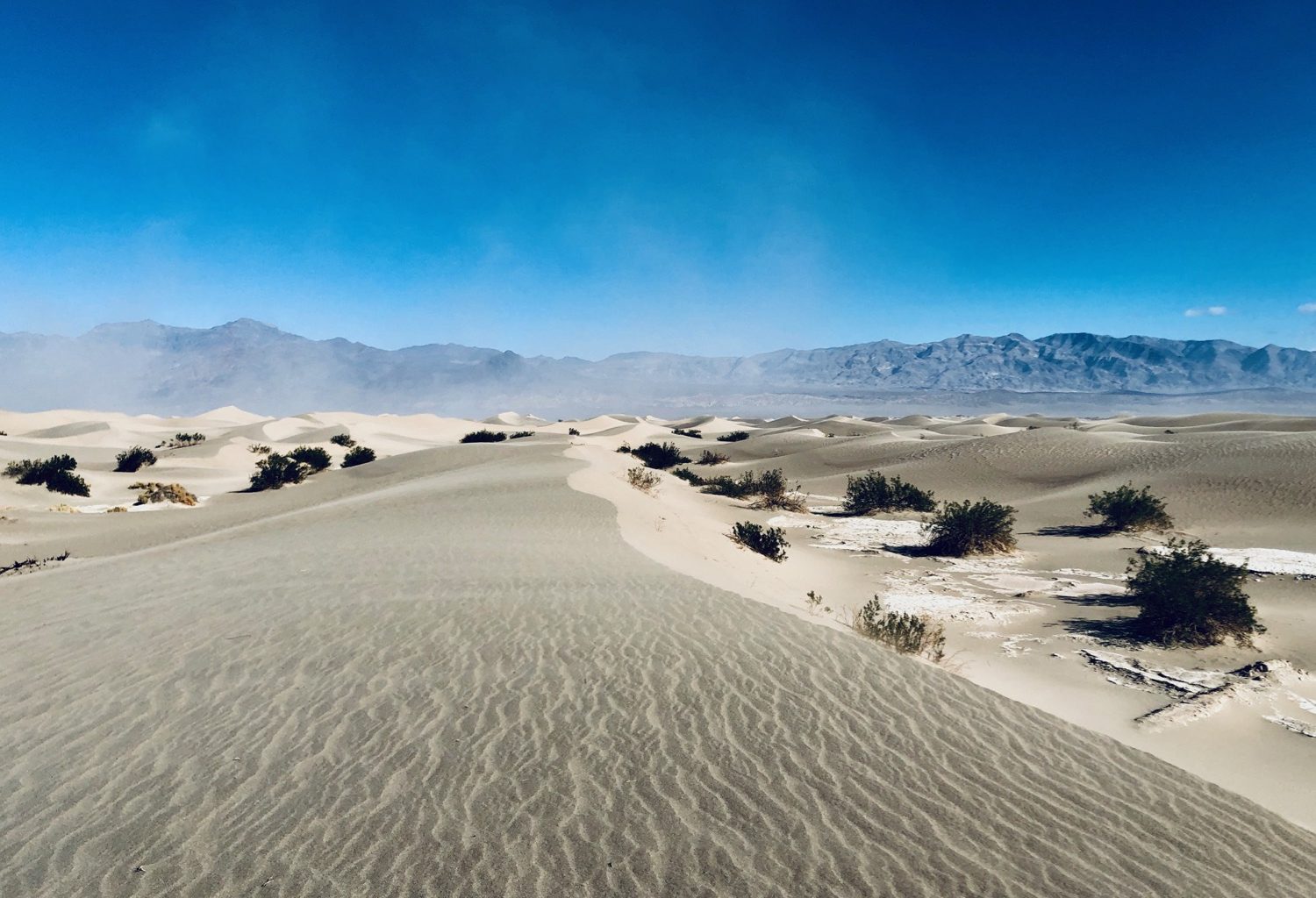
Right behind Stovepipe Wells is one of Death Valley’s top highlights– Mesquite Flat Sand Dunes. For the final day in the Stovepipe Wells area, I decided to head out and explore the dunes. I managed to take this photo in a moment of calm, but there was quite a sandstorm that day. I ended up with sand in my ears, nose, eyes–everywhere. Bring your goggles if you go, just in case! The official trail guide cites this as a 2.8 mile out and back, but you’re free to roam anywhere on the dunes– so you can make it as long or short as you want.

While you could probably do many of the sites around Stovepipe Wells in a day by car, I recommend giving yourself more time to really take in all the beautiful details of the park. I find it hard to connect with a place when only driving through. Giving yourself the time to follow your nose in any direction on foot in a place as dramatic as Death Valley is its own reward. With all the major sites checked off my list, it was time to head over to the Furnace Creek area in the southern part of the park, which I’ll cover in my next post!

